Περιγραφή
The Aliakmonas and the Venetikos, which is its largest tributary, are the two largest rivers that flow through the prefecture of Grevena.
Aliakmonas
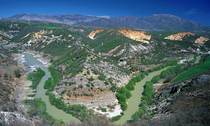
River of Western Macedonia, the largest river in Greece, located entirely in Greek territory and with a total length of 297 km. It crosses the prefectures of Grevena, Kastoria, Kozani, Imathia and Pieria. It receives the surplus waters of Lake Kastoria as well as the waters of: Livadopotamos, Stravopotamos, Vela, Ndraboutiotikos, Pramoritsa, Greveniotikos, Venetikos, Stavropotamos, Edesseios, the drainage ditch of Lake Giannitsa. It flows into the Thermaikos Gulf, a little south of the mouth of the Axios River, creating an extensive delta rich in flora and fauna.
In Western Macedonia it is formed by the confluence, near the village of Maniakoi in Kastoria, of the rivers Belitsa, which originates from Mount Voio, and Zelovo, which has its sources on Mount Varnountas. In the prefecture of Grevena, the tributaries that form it, Venetikos and Grevenitis, originate in the southwest from the Valia Kalda valley, the Orliakas and the Smolikas.
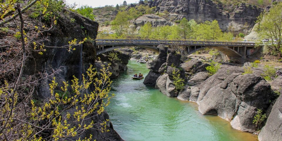
Venetikos
Venetikos is the largest tributary of the Aliakmonas and is created by smaller tributaries or torrents, such as the Velonias and the Smixiotikos. Until it meets the Aliakmonas, it flows through valleys and in places, such as in the area of the village of Spilaio in Grevena, it creates steep and impressive gorges. Also important in this river system is the presence of the Soutsa stream that crosses the Municipal Districts of the Municipality of Chassia. In the north, it collects the waters of the Pramoritsa river, concentrating the waters of the hydrocrit of the Kozani region. It then forms an arc around Mount Vourino and through a deep ravine it proceeds northeast for 90 kilometers, forming meanders in the area of Zavorda.
The river contributes to the development of the region and specifically of agricultural production through dams and irrigation networks that cover irrigation needs.
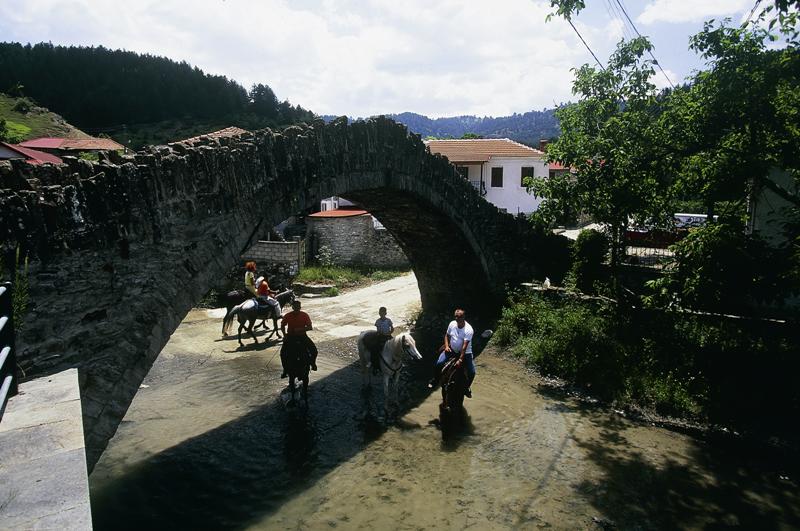
In Western Macedonia, the Aliakmonas and its tributaries form a complex river network which, in combination with the geographical location of the region between Macedonia and Epirus, imposed the construction of important roads, the most characteristic of which is the “Royal Road” on the Mavranei-Ziaka-Perivoli-Vovousa axis. This need led to the connection of the rivers with stone bridges that survive to this day.
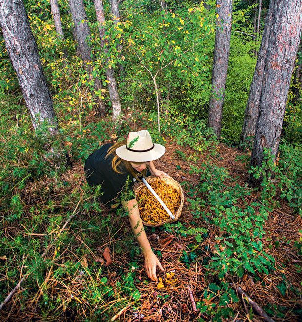
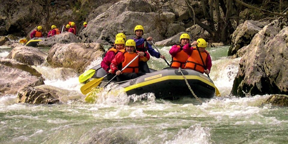
Touring the bridges, either by sailing the rivers (Aliakmonas and Venetikos) or walking along riverside paths, combines recreation with exercise, allowing visitors to engage in activities such as fishing, rafting and canoeing & kayaking, while getting to know the natural environment of the area alongside local history.
Δείτε τις Εικόνες
Σχετικά Πακέτα